Day 254 - Tuesday, October 2
My bus from Munich took me to Bern, Switzerland's capital, arriving around 10am. Despite only 4 or 5 hours of sleep on the bus, I felt pretty good when I got to Bern - probably just "good" in comparison to how awful I had felt all day Monday. I spent a few hours checking out Bern (which, by the way, I think was plenty of time - not a ton to see there). A few photos of Bern:
Then, I jumped on a train to Interlaken to spend a few days in the Alps detoxing, hiking, cleaning the campground off my clothes (and my body) and hopefully catching up a bit on my sleep. The view from the balcony of my hostel room when I arrived:
That peak in the background there is
Jungfrau, the mountain which lends its name to the entire region that includes Interlaken. The Swiss Alps are pretty awesome. And some of the places in the Jungfrau region are stunningly beautiful. It is definitely one of, if not the most beautiful place I've been so far. Don't worry, I took way too many pictures trying to document this...
Day 255 - Wednesday, October 3
I had read that one of the best full-day hikes in the region is along the ridge that runs from Schynige Platte to First and includes the Faulhorn summit (see map
here, hike #62). Unfortunately, getting to either of the end points requires an additional 3-4 hours of hiking up or a ~$40 ride via train and/or cable car. After being warned that hiking up and walking the ridge and to the summit would be too much in a day, I decided to bite the bullet and pay for a ticket on an 8:05am train to go about 3/4 of the way up to Schynige Platte. So I was up around 6, and set out for the bus to the train station around 7, with the sun rising behind the mountains:
I got to the train station about 7:35 and asked for a ticket on the 8:05 train. Small problem, turns out the little footnote in German that I couldn't read indicates the 8:05 train isn't running, and the next isn't until 8:45. Not wanting to sit around doing nothing for an hour, I decided to just man up and climb the mountain and hope the posted hiking times were really conservative. So I went straight up the mountain, from Wilderswil at ~1900 ft elevation to Schynige Platte at ~6800 ft elevation. Luckily I made pretty good time and got to the top only a little after the 8:45 train did. A picture of said train as it made it's way back down:
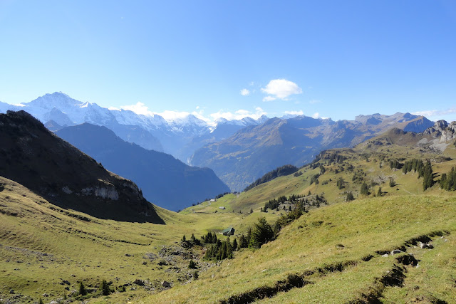
So at that point, I felt good about being able to get the rest of the hike in before sunset. A couple of photos from Schynige Platte:
The trail continued along a ridge with the giant snow-capped mountains to the right and the lake to the left, it was pretty awesome:
A photo looking back towards Interlaken:
The collection of houses just to the left of Interlaken at the foot of the mountain, is Wilderswil, where I had started several hours earlier. As I continued my climb from Schynige Platte to Faulhorn, I stopped to take another picture and realized I didn't have my camera. Unfortunately, with my concern about time, I had been stopping less frequently to take pictures, and hadn't taken one in about 30 minutes. Now, as you all know, I'm pretty good about losing/forgetting things, but leaving a camera in the middle of a hike is pretty difficult to do, even for me. So I started backtracking, and after ~20 minutes and passing several people who hadn't seen it, I eventually came across a family who didn't speak english, but with some charades (a skill I've polished a good bit while traveling), I was able to communicate the issue. Success! They pulled my camera out of their bag. Whew! Glad to have my camera back, but the backtracking probably cost me 45 minutes, plus quite a bit of energy, so once again I was worried about time. Now that I had my camera, I decided more photos were in order:
Apparently I needed to keep an eye out for an aggressive ram:
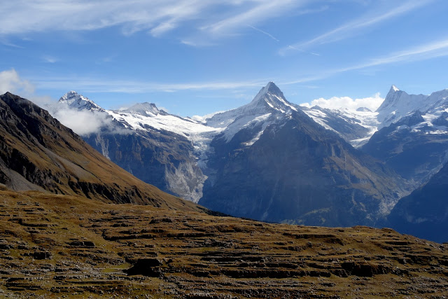
As I approached Faulhorn, the sun was finally high enough in the sky, that I could take some photos in the direction of the snowy peaks.
Finally I got to the top of Faulhorn at about ~8800 ft, ~7000 ft higher than my starting point in Wilderswil. Turns out, it gets colder as you get higher, and it was a balmy 2 degrees C atop Faulhorn. I, of course, was appropriately dressed.
When I got to the summit, some clouds had started to move in, but I took a few pics from the top anyway:
Apparently the Swiss Air Force was doing fighter jet practice/training in the region because they were buzzing around quite close to Faulhorn all day. I felt like I was at some sort of air show, as close as they were getting. PS: Why does a country that's always neutral need an Air Force?
I then made my way down the mountain to the town of Grindlewald, as the skies cleared up and I took way too many photos again. There's probably no reason to even click on the link to the album, because with the photos below, I think I've put nearly half the ones from the hike into the blog:
Proof I was actually there:
Lots of cows, all with cowbells, make the Swiss Alps a perfect vacation destination for
Mississippi State fans
And a photo of the famed north face of
Eiger, supposedly one of the hardest sections of mountain to climb anywhere. I don't see what all the fuss is about:
Finally, about 10.5 hours after I started, I made it to Grindlewald:
Day 256 - Thursday, October 4
I lucked out Wednesday night and found a very friendly Canadian named Jasmine, who let me borrow her laptop and said I could use it the following day while she hiked. On top of being worn out from the previous day's hike, Thursday ended up being a crappy weather day anyway, so it worked out to be a perfect day for me to spend culling, editing and uploading nearly 3 weeks of photos. I also used the opportunity to do my taxes. It was really quite a productive day. I had forgotten how nice it feels after you finish a significant project that's been on your plate for a while. As a tourist, I don't get many opportunities for such things. When I headed to dinner Thursday night, I was feeling pretty good about all that I had accomplished.
Day 257 - Friday, October 5
Friday the weather was beautiful, and I decided to do another full day hike, this time starting in the other glacial valley near Interlaken that's home to the towns of Lauterbrunnen and Murren (the other valley being home to Grindlewald). I decided a pre-dawn wake-up was unnecessary and didn't actually get to Murren and start the hike until nearly 11, but the moon was still out:
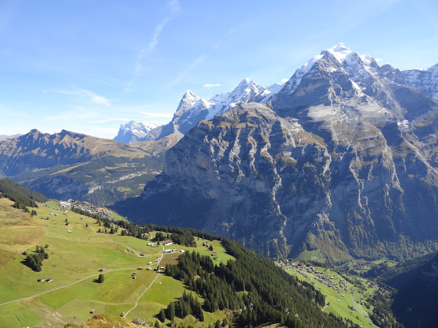
Even before I had done any hiking, I was struck by the views from the town of Murren, which were pretty awesome:
Gradually I made my way from Murren at ~5400 ft to Schiltorn at over 9700 ft and took lots of photos along the way:
More proof I was actually there:
Unlike Faulhorn on Wednesday, there wasn't any plant life to speak of on the top of Schiltorn, just rocks and few remnants of snow:
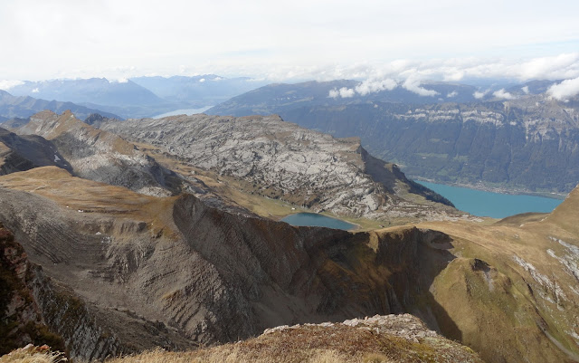
A couple photos from the top:
What's that you say? You want to see more photos from my way down that look very similar to the photos above. Well you will not guess what I've got in store for you...
As I made my way down, I came across this sign.
I'm not sure exactly what it's trying to convey - I'm hoping it's pretty self-evident that proceeding over the edge of the cliff would be hazardous to your health. One more photo as I made my way back to Murren:
By the time I got back down to Lauterbrunnen, the sun had pretty well set behind the mountains, but like Murren, the views from the town of Lauterbrunnen, which sits at the base of the valley, were pretty awesome:
As I said before, the Swiss Alps may be the most beautiful place I've been in my whole trip. If you're a hiking enthusiast or just like pretty views of Mountains and such, you should definitely try to get there at some point. It was definitely one of the highlights of my trip.


